
Morris Township Neighbors by Block Source
Morris Township neighbors are best researched as a small set of parcels around one address. The public sources are parcel-oriented, not a complete household roll. County GIS gives map geometry and parcel identifiers. The Tax Board gives tax-year assessment context. The County Clerk index gives recorded parties and instruments. Building or OPRA routes may hold a specific permit or inspection record, while library material can place a block in a historical period. Use each source for its own purpose and distinguish an assessed owner, recorded party, public meeting participant, and historical occupant.
| Source | What it can show about a block | Access coverage |
|---|---|---|
| Morris County GIS Parcel Searcher | Parcel polygons, parcel IDs, map/report context, and adjacent geometry | Free online viewer; dynamic overlays were not captured and it is not a survey |
| Morris County Tax Board | Tax year, district, block, lot, qualifier, assessed owner, and assessment context | Free portal with required dynamic tax-year and district selections |
| Morris County Clerk index | Recorded documents and parties tied to a town or lot/block | Free online index from 1960; older and certified copy routes use the Records Vault |
| Morris Township Building or OPRA | Specific permit, inspection, or certificate records held by the township | Request route; no complete public permit index was located |
| Library maps and directories | Dated historical street, locality, occupant, or organization clues | Reading room, database, or non-circulating collection access varies |
| County elections | Individual registration status and polling-place administration | Official individual lookup and county contact, not an unrestricted block roster |
A Morris Township parcel owner may be an estate, trust, company, or an owner who receives mail elsewhere. That fact does not establish an occupant. Likewise, a voter-status service is for an individual status and polling-place check, not a way to retrieve everyone on a block. Keep those limits visible while comparing public records.
Morris Township Parcel Search
The Morris County GIS Parcel Searcher accepts a municipality, owner name, street address, or parcel ID in its quick search. For a Morris Township address, select the target parcel, open the map or report, then inspect the polygons that touch it. The GIS tool has a Buffer in Feet control, plus Clear Buffers and Submit, for a distance-based review. Buffer results are a way to collect nearby parcels, not a statement about a legal boundary or everyone who lives nearby.
Do not imply that the viewer has a particular zoning, flood, school, historic, or other overlay. The inspected source did not capture a complete dynamic-layer list. Instead, open each selected parcel's report or map context individually and verify its current tax fields in the Tax Board. If the question concerns a recorded transfer, use the parcel's lot/block, town, and party evidence in the Clerk index. This sequence avoids turning a map screen into an unsupported household conclusion.
The County GIS Parcel Searcher is the official source for the Morris Township map workflow shown here.
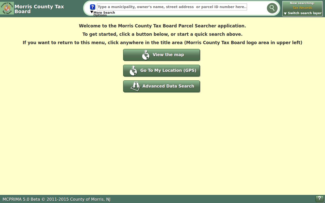
The selected-parcel view is a starting point for a Morris Township block check, followed by record-by-record verification.
Note: Record the map access date because a current parcel view can change as county data and parcel records update.
Map Morris Township Neighboring Parcels
For Morris Township neighbors, work outward from the selected address in a repeatable order. Address to selected parcel to touching polygons to record verification is the useful flow. The map should only supply the surrounding parcel set. Ownership and document facts come from separate county sources. A full named-street review has a different scope and is covered by the Morris Township street address directory.
- Enter the Morris Township address, owner, or parcel ID in the GIS quick search and select the matching parcel.
- Choose View Map or the report, pan to the touching polygons, and record each parcel ID, block, lot, and the date accessed.
- Use Buffer in Feet only when a distance set is needed. Clear the buffer before beginning a different Morris Township address.
- Search each parcel in the Tax Board using the current tax year and Morris Township district. Preserve the result as assessed-owner information.
- Use the Clerk's Party, Town, or Lot/Block routes to verify recorded parties and documents for a parcel where that added record is needed.
County GIS data are provided for general information and are not a survey or legal description. The parcel line, recorded instrument, and Tax Board result answer different questions, so do not substitute one for another.
Morris Township Tax Board Verification
The Morris County Tax Board search is the current-record check after a GIS selection. Its Property Location panel requires Tax Year and District, uses a required Street Name, and allows an optional House Number. The Owner, Block and Lot, and Prior Block and Lot panels also require Tax Year and District. Choose the live Morris Township district and relevant tax year before submitting. The page's dynamic option lists were not preserved in the research, so they should not be guessed.
| Tax Board field | How to use it in a Morris Township block check |
|---|---|
| Property location | Check a house number and street name against the selected GIS parcel. |
| Owner | Find the assessment name after the tax year and district are selected. |
| Block, lot, and qualifier | Connect the assessment record to GIS and to the Clerk lot/block search. |
| Prior block and lot | Test an earlier parcel identifier when a historic parcel change is documented. |
| Mailing and situs fields | Keep them distinct. A mailing address does not prove that someone occupies the parcel. |
The Tax Board says its data are provided as-is without a warranty of accuracy or completeness. A Morris Township assessment is useful current context, but it is not a title opinion. For a recent change, compare the assessment record with the Clerk recording because deed transmission to the assessor can take time.
Note: Save the selected tax year and district with every Tax Board result because those controls affect the record returned.
Morris Township Neighbors and Voter Status
New Jersey's Voter Search provides an individual registration-status and polling-place route. It does not provide an unrestricted roster of Morris Township neighbors. Election records have their own access rules, and statutory voter-system information includes sensitive identifiers and signatures that are not a general public directory. Ballot choices are never a resident attribute.
If a narrow election-record question remains relevant, contact the Morris County Board of Elections or Commissioner of Registration rather than trying to build a block list from individual searches. The county's office is at 10 Court Street, second floor, Morristown, and lists 973-285-6715. A public meeting or election record can show a specific role or date, but it does not prove a person resides at a Morris Township parcel.
Note: Treat a voter-status result as individual election administration information, not as a complete description of a nearby household.
Morris Township Civic Inventory, Not Roster
The Morris Township boards, committees, and commissions inventory is the verified civic source for public bodies and participation records. It is not a neighborhood-association roster. No official, current comprehensive roster of private neighborhood associations or HOA members was located in the research. Do not infer private membership from an agenda, public hearing, civic appointment, club reference, or a local-history item.
| Civic or community source | What a Morris Township record can support | What it cannot establish |
|---|---|---|
| Boards, committees, and commissions inventory | Official civic-body and public-participation leads | A private neighborhood membership roster |
| Meeting agendas, minutes, and notices | A dated board, applicant, project, or public role | Current residence or ownership for every named person |
| Library local-history collections | Historical organization, block, newspaper, or locality context | A current private contact list |
The Township civic inventory provides the public-body source used for Morris Township neighborhood context.
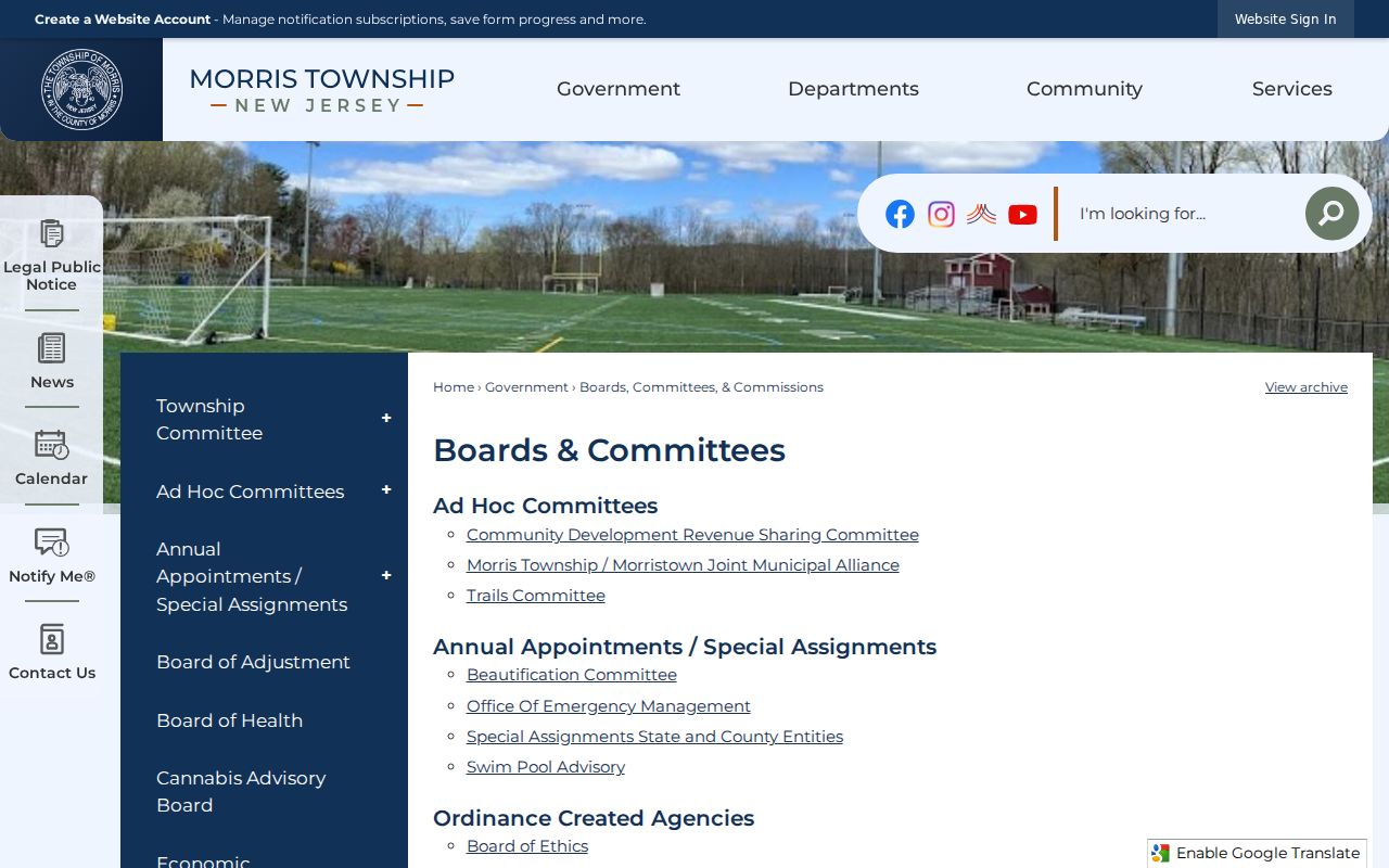
Use a listed civic body to locate the relevant public record, then preserve the board name, role, and meeting date without converting it into a private-neighborhood roster.
Morris Township Neighbor Lookup Limits
A map result does not produce a complete list of households, and a paid neighbor-search category does not fix that gap. Commercial tools can combine public extracts, marketing data, and brokered information, which can be stale, merge same-name people, omit renters, or expose protected addresses. For a Morris Township question tied to a parcel, the official map and record chain is more transparent because each field has a named custodian and date.
| Official record route | Commercial neighbor-search category |
|---|---|
| Identifies the custodian, record type, date, and parcel-based limitation. | May combine datasets with uncertain update dates or matching methods. |
| Separates GIS geometry, assessment facts, and recorded documents. | Can blur owner, occupant, former address, and unrelated same-name information. |
| Allows a direct check with the Tax Board, Clerk, or township custodian. | May charge for access without improving the official record's underlying accuracy. |
The practical rule is simple: a Morris Township block question should remain a parcel question until an official record supports a more specific, lawful conclusion.
Morris Township Neighbor Privacy Limits
Several categories remain private or incomplete in a neighbor lookup. Renters, other household members, minors, utility customers, delivery records, protected voters, and Address Confidentiality Program participants may not appear in the parcel sources. A property owner may live elsewhere. Court records also have limits for juvenile, sealed, expunged, adoption, family, and protected material. The absence of a public result is not proof that a person does or does not live in Morris Township.
Lawful use. Use Morris Township neighbor research for personal curiosity, civic awareness, or a documented property question. Do not use public records to watch, contact, threaten, intimidate, or harass anyone. New Jersey stalking and harassment laws, including N.J.S.A. 2C:12-10 and 2C:33-4, apply.
Morris Township Block Research Notes
A concise record log keeps Morris Township neighbors research accurate. Note the input address, parcel ID, block, lot, qualifier, map date, tax year, district, recorded instrument number, party role, and access date. Also record whether a result refers to an assessed owner, a recorded party, a historical occupant, a civic role, or an unverified map feature. That distinction makes it clear which next custodian can answer a narrow question.
For historic context, the library's maps, directories, newspapers, vertical files, and local histories can explain an older street or locality label. For current parcel facts, return to the Tax Board, GIS, and Clerk. Morris Township postal labels can include Morristown or Convent Station, so preserve the source label and verify the legal municipality rather than changing it by assumption.